¿Where is in the world?


Capital time


Capital weather

ANTANANARIVO WEATHER


View huge map

View map administrative Provinces

View map administrative Regions


  G E N E R A L       I N F O  

Surface
Inhabitants
Density

587.041 km²
28.000.000 (estimate 2021) ±
43 ab/km²


Governament

Republic semipresindetial

Capital

Antananarivo / Tananarive - 1.275.200 inhab. ±

Other cities

Antsirabé
Mahajanga
Morondava
Toamasina

- 500.000 inhab. ±
- 400.000 inhab. ±
- 115.000 inhab. ±
- 450.000 inhab. ±


Etnich


Blacks 90%
Mulattos and White 5%

List of the 18 ethnic groups at the end of the page

Language


Malagasy and French (officials)


Religion


Catholic Christian cattolici 38%
Catholic Protestant 45%
Animist 5%
Muslimi 3%


Currency

Malgasy Ariary MGA


Borders

It has only maritime borders with:
NORTH WEST: Comores Island, Mayotte Island, Mozambico
NORTH: Seychelles Island
EAST: Mauritius and Reunion islands


Mountains


Maromokotro
Boby
Tsiafajavon
Ambatondrangahy
Rochers d'Antranovato
Ambohimirahavavy
Famoizankova
Andohanisambirano
Inanobe
Beandrarezina


2876 mt
2452 mt
2394 mt
2378 mt
2338 mt
2334 mt
2206 mt
2183 mt
2135 mt


Rivers


Mangoky
Onilahy
Betsiboka
Sofia
Ihosy
Mangoro
Ikopa
Zomandao
Mandrare
Maningory


563 kms
524 kms
520 kms
354 kms
304 kms
300 kms
300 kms
283 kms
270 kms
260 kms


Lakes


Lago Alaotra
Lago Tseny
Lago Tsimanampetsotsa


900km²

45,604 km²


Islands


Nosy Be
Nosy Sakatia
Nosy Komba
Nosy Iranja
Nosy Fanihy
Nosy Tanikely
Nosy Vorona


Clima


Tropical, rainy along the east coast, arid in the southwest and mild in the mountains.
There is a rainy season from November to March, but that is barely felt in the arid Southwest. Almost everywhere there is; a dry season from April to October (or May to September in the north). On the east coast it rains all year round with tropical rains. In the cool period, from May to September, masses of fresh air can come from the southwest.


Curiosity


It is the fourth largest island in the planet.
Due to its soil reach of iron,Madagascar is also called "The red island".


  F R E Q U E N T L Y       A S K E D       Q U E S T I O N S  

ISO Code
Drive
Time
Telephone code
Electricity
Internet code


MG
Right
+3 Gmt
+261
220V - 50Hz
.mg


  N A T I O N A L       H O L I D A Y S  

  LAICAL       HOLIDAYS  

01 January
29 March
01 May
26 June


Capodanno
Martyrs of the 1947 insurrection against French rule
Labour day
Indipendence day


  RELIGIOUS       HOLIDAYS  

Easter
Easter's Monday
13 May
15 August
01 November
25 December


Ascension party
Assumption of Mary
All Saints
Christamas


  T H E       1 8       E T H N I C       G R O U P S  

In the country there are 18 main ethnic groups, sometimes called "The 18 tribes"


Antaifasy

"those who live in the sand", present on the south-east coast of Madagascar, in the area of Farafangana

Antemoro

"those of the coast", inhabit the south-eastern coasts , in the area between the cities of Manakara and Farafangana

Antaisaka

"those who come from the Sakalavas", they live in the region up north of Fort Dauphin

Antankarana

"those of the cliffs", they live in the far north of island

Antambahoaka

"those of the community", they live in the region of Mananjary

Antandroy

"those who live in the thorns", the live in the extreme south

Antanosy

"those of the island",they live around Fort Dauphin

Bara

distributed on the central plateaus

Betsileo

"the many invincibles", settled in the southern part of the central highlands

Betsimisaraka

"the many inseparable", inhabitants of the east coast

Bezanozano

"those of the braids", concentrated along the Mangoro river

Mahafaly

"the creators of tabu", located in the south, and in particular in the area of Betioky and Ampamihy

Merina

"those of the highlands", concentrated around the capital Antananarivo

Sakalava

"the inhabitants of the long valleys", occupy almost the entire territory to the west

Sihanaka

"those who wander in the swamps", settled around the lake Alaotra

Tanala

"the inhabitants of the forest", the live near Ranomafana

Tsimihety

"those who do not cut their hair", populate the north-central part of the island

Vezo

"the nomads of the sea", located in the southwest of the island, on a coastal territory that goes from Anakao (about 50 km south of Toliara) to Morondava

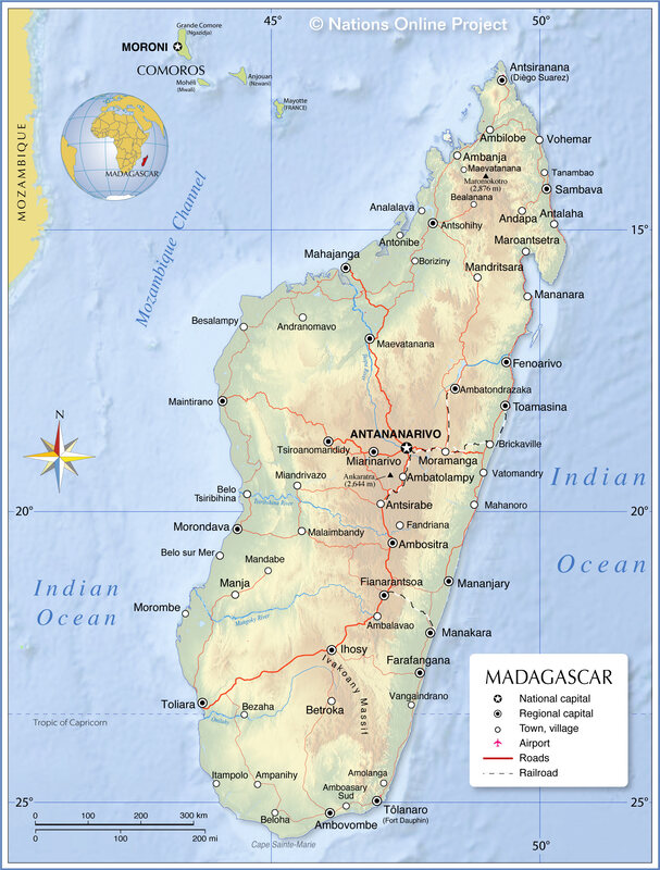
View the map of the 18 ethnic tribes                             LINK.: The 18 tribes                             Top page


L I N K

Nature and Landscapes

Tourism

Newspaper
English

English, French, Spanish

French

Top page

Totale accessi

Total access

Sito protetto da

 SiteLock

Site protected by

Last page update October 2021